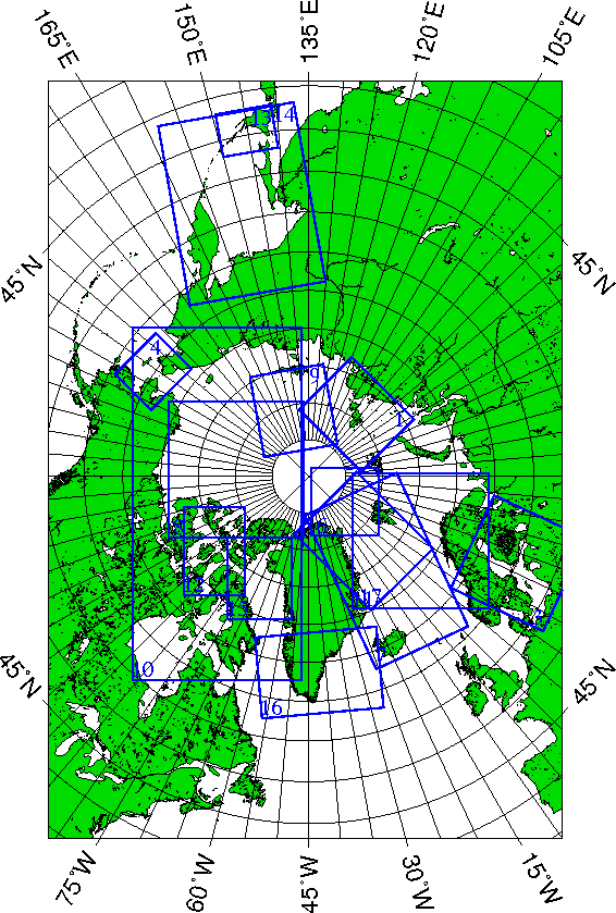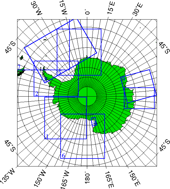
Data files and grid coordinates files for every region in HDF and GEOTIFF format are also accessible via the data archive.
Please contact us if you need any other special region. Information regarding the location and projection used for the regions can be found here.
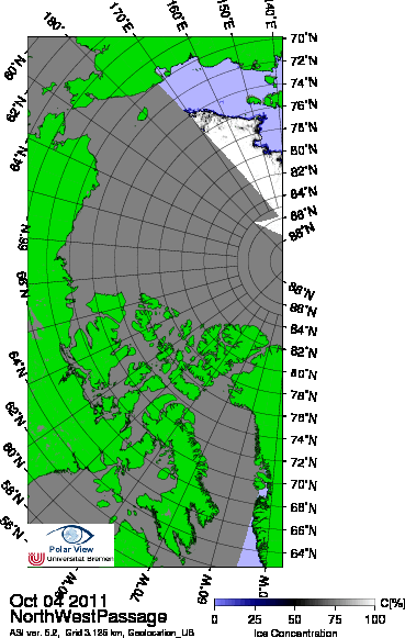
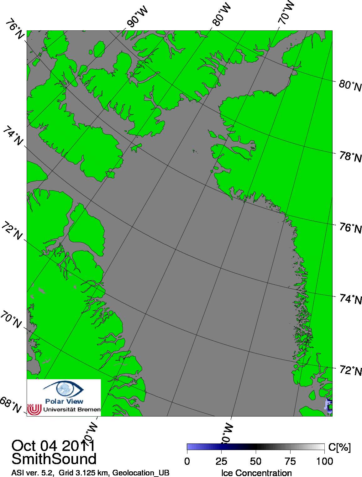
All level 1A data are received from the National Space Development Agency of Japan.
Distributed by: National Snow and Ice Data Center, Boulder, CO, USA. FTP download.
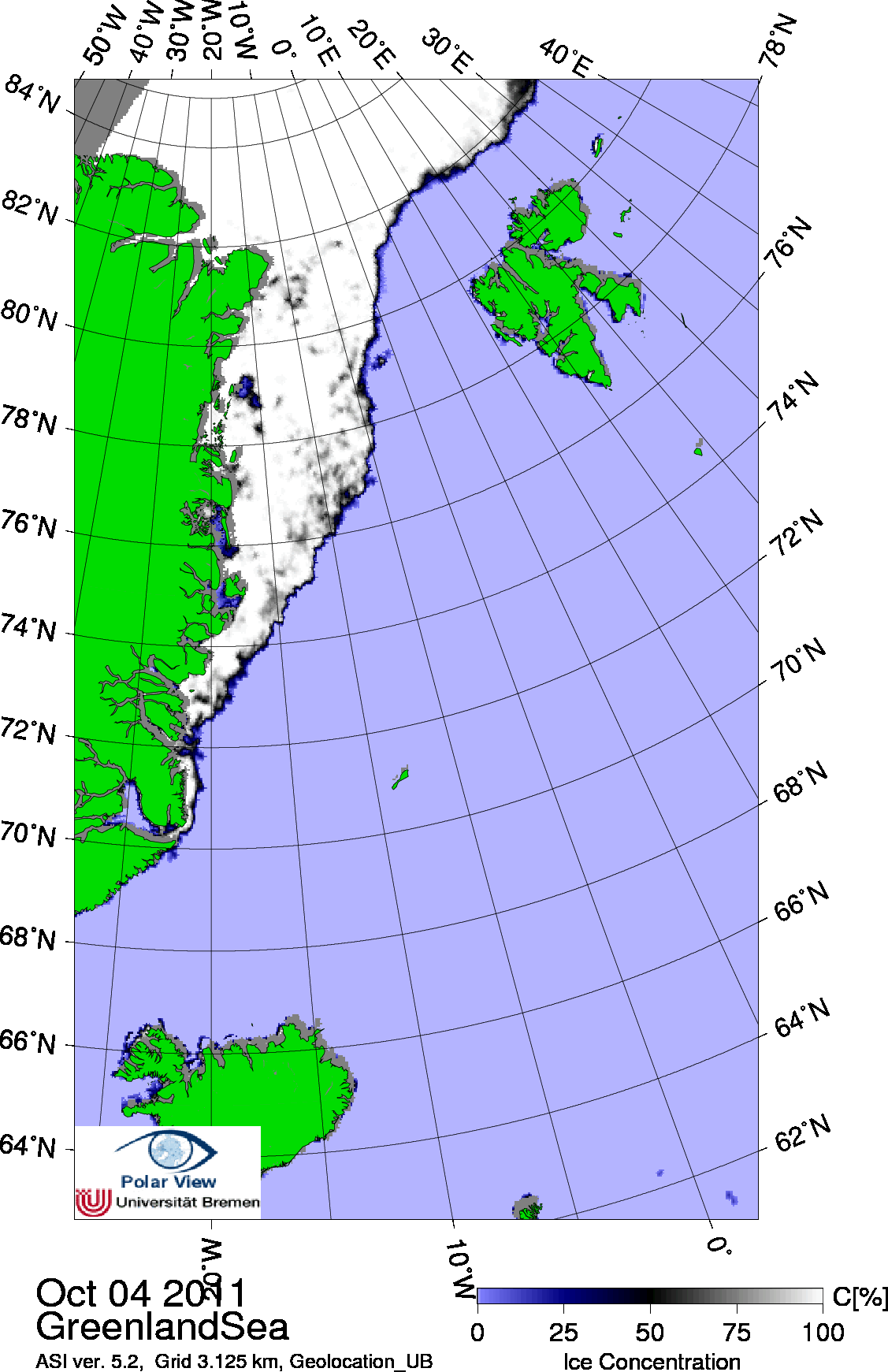
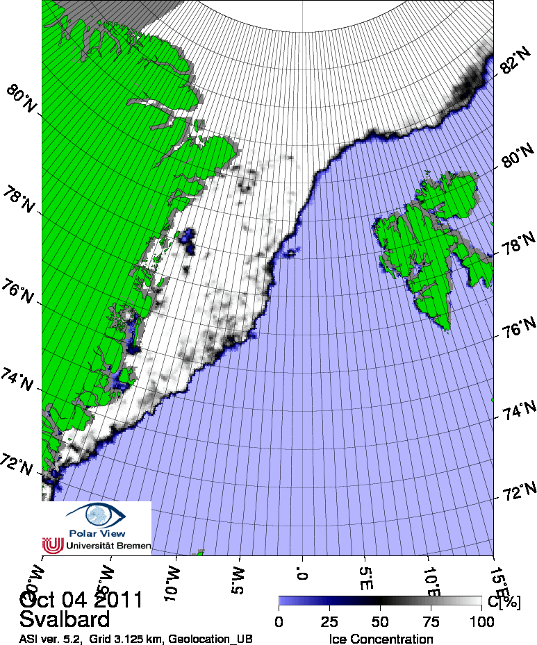
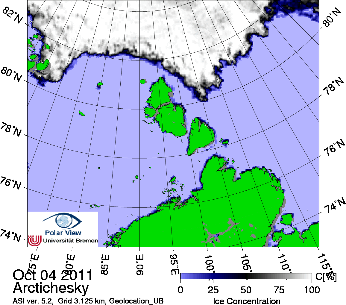
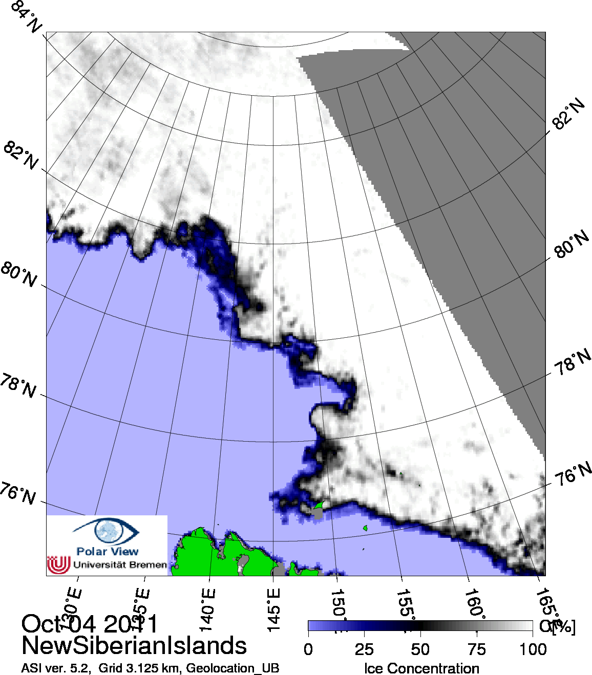
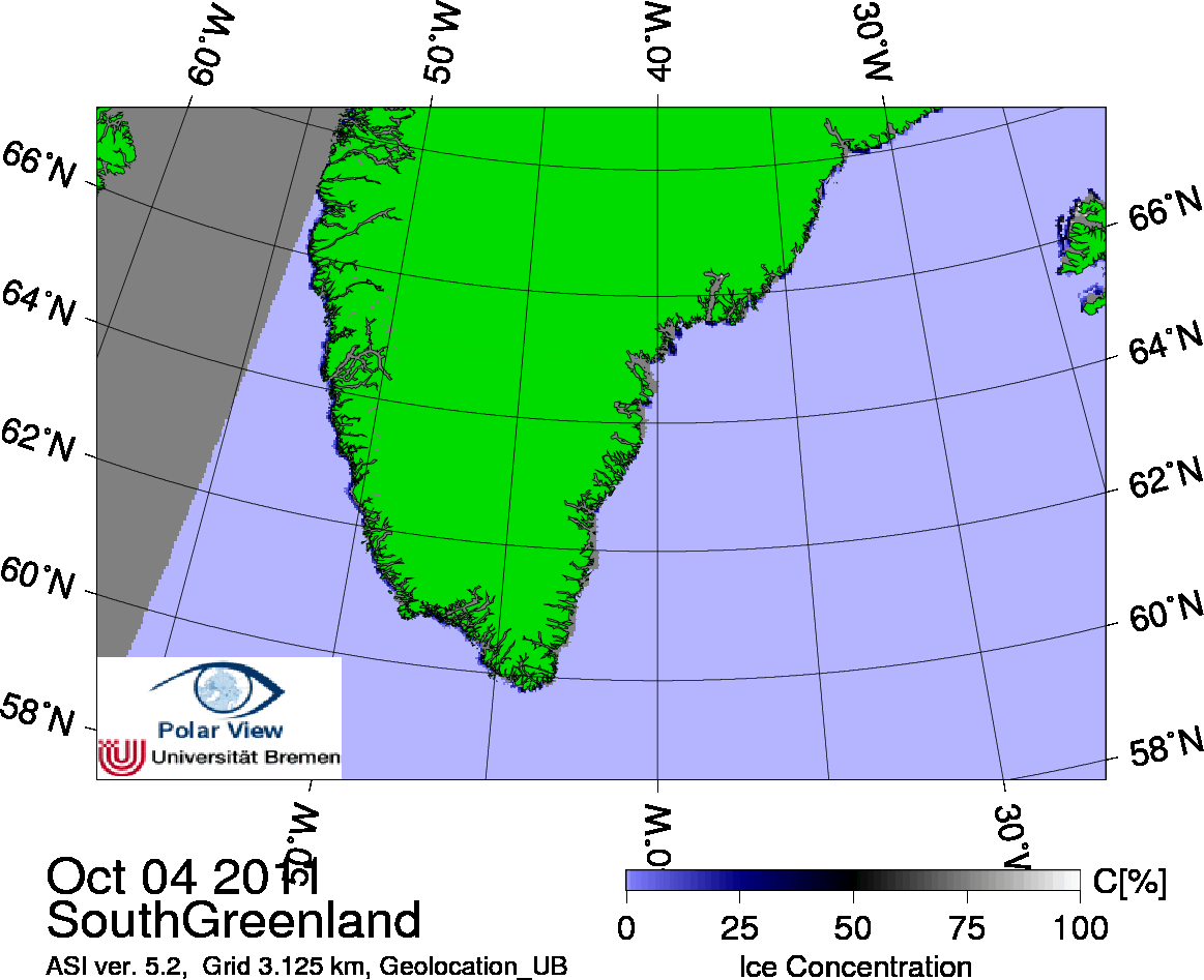
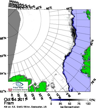
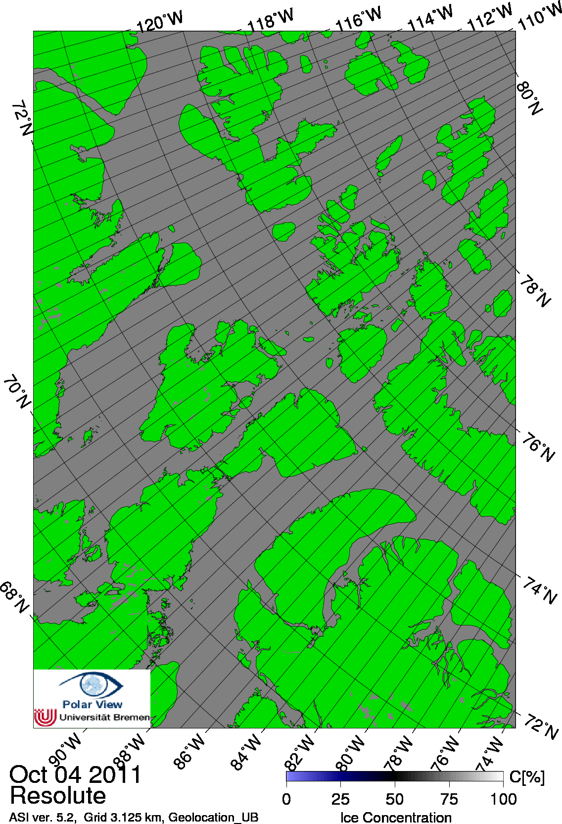
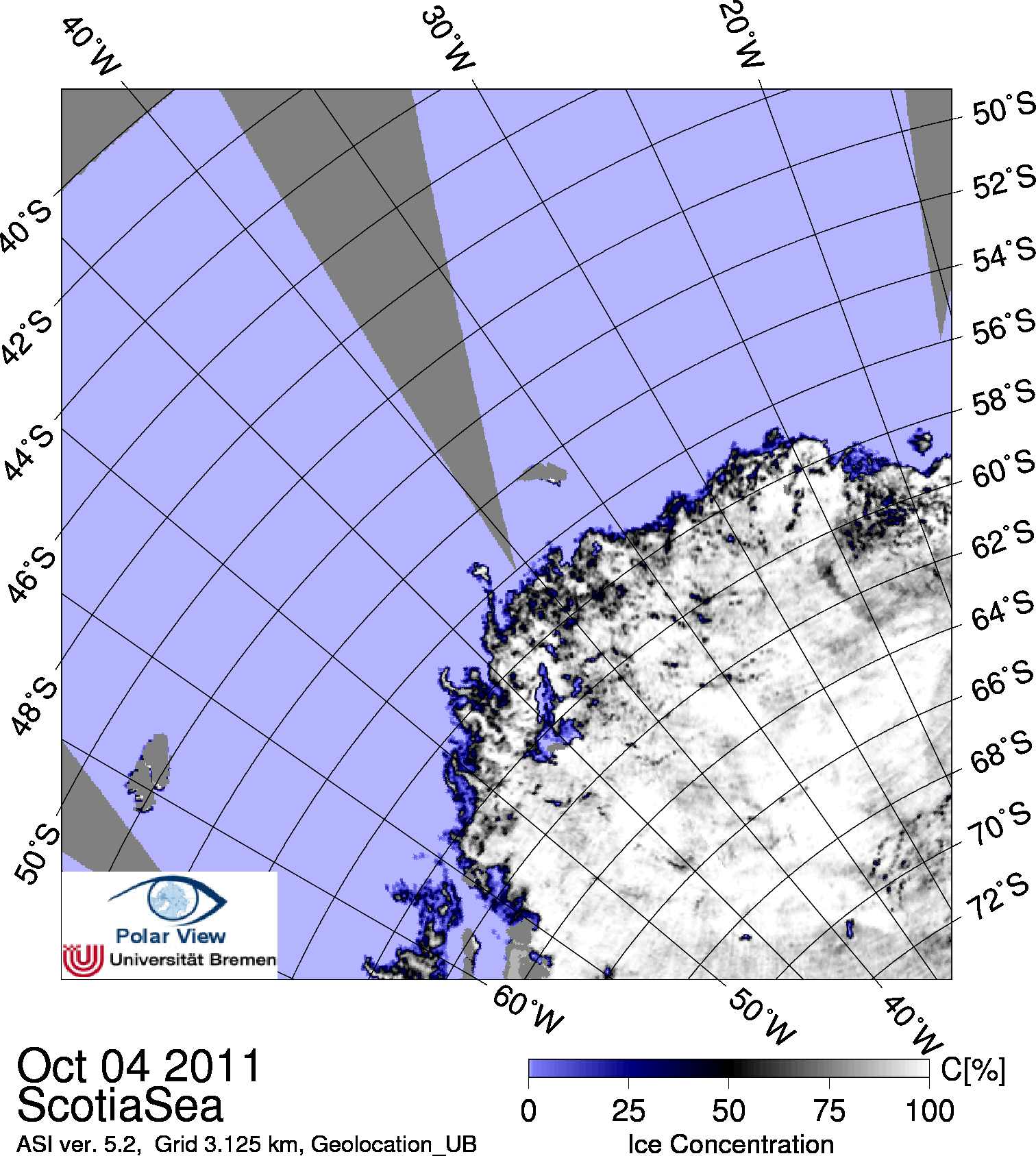
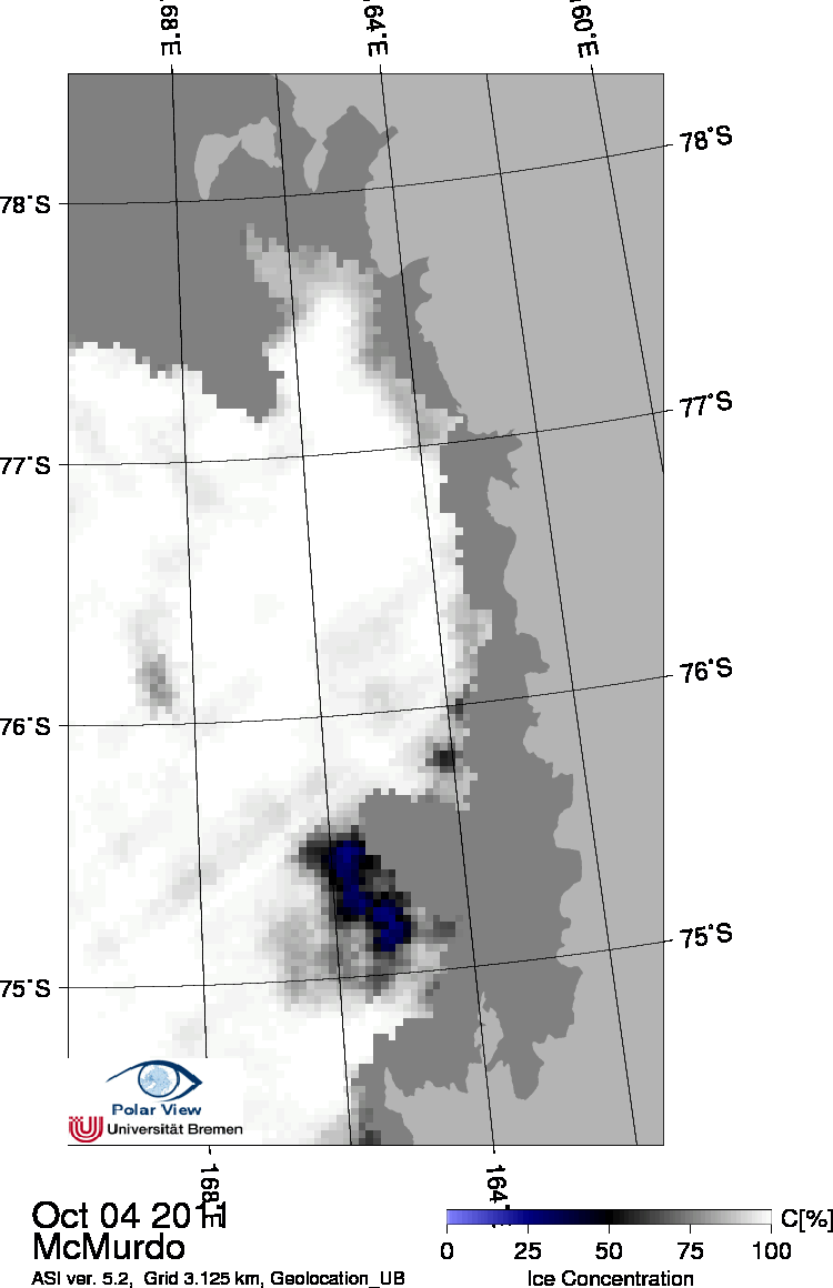
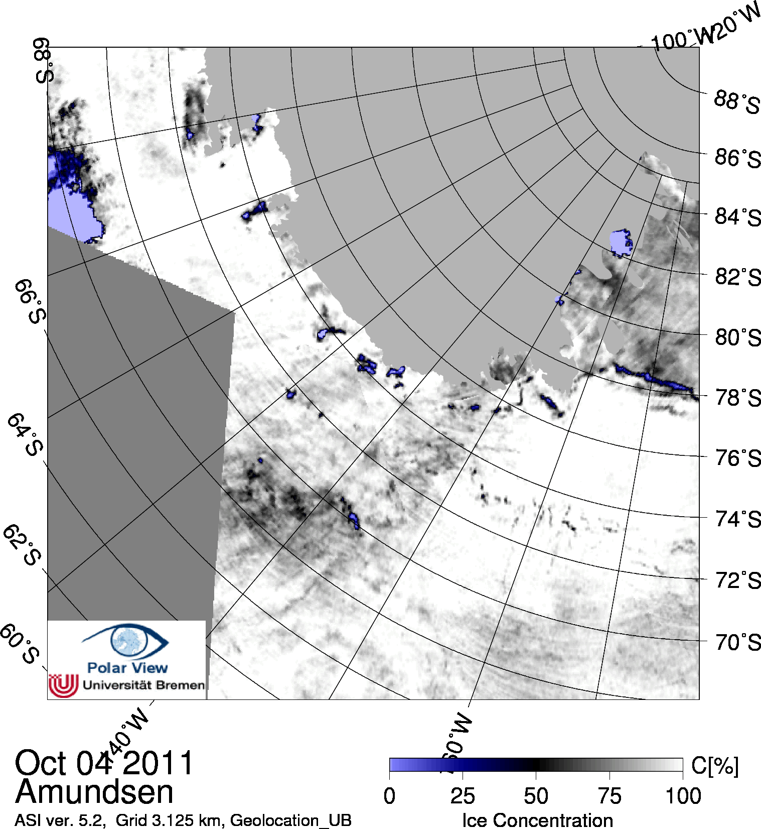
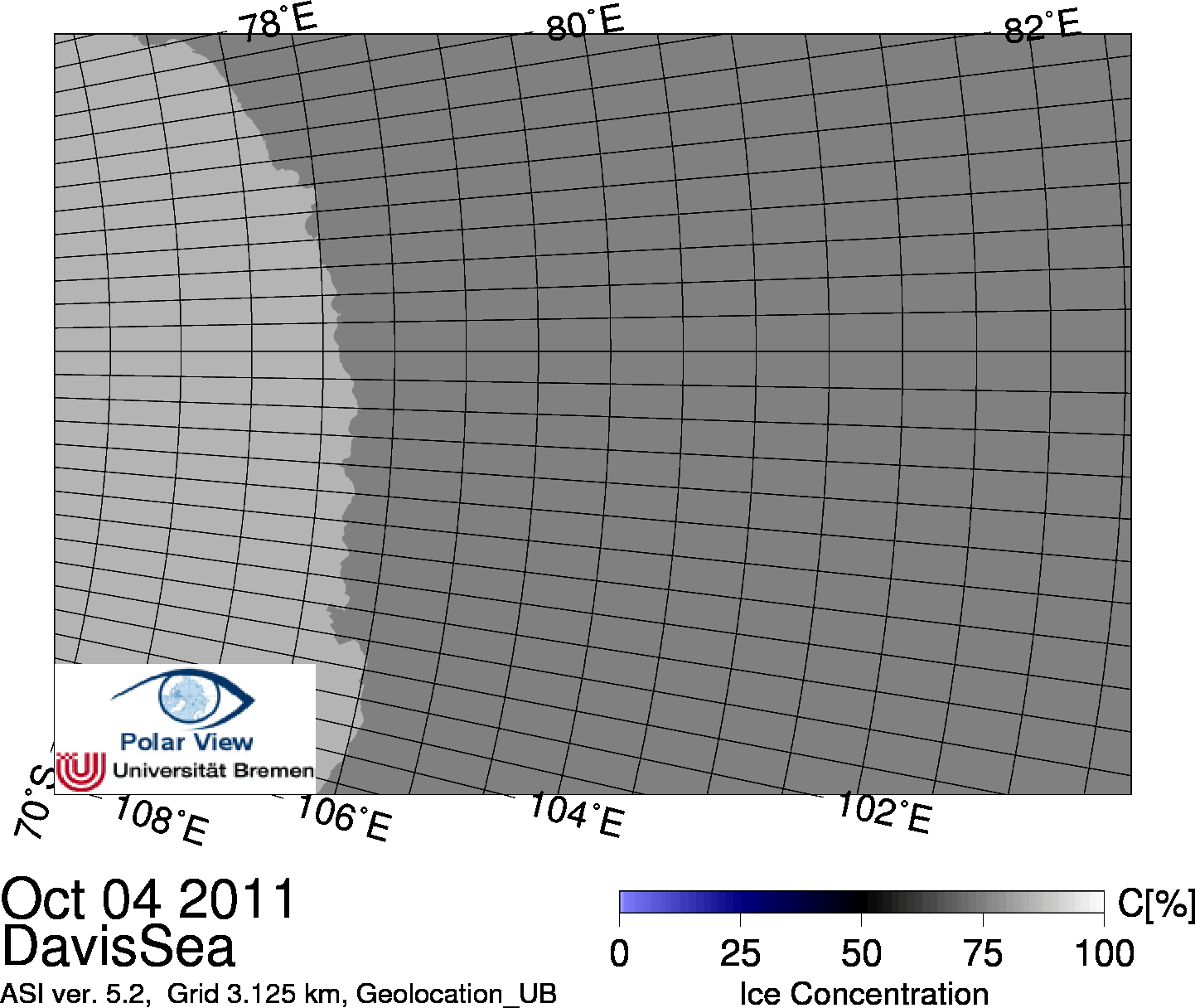
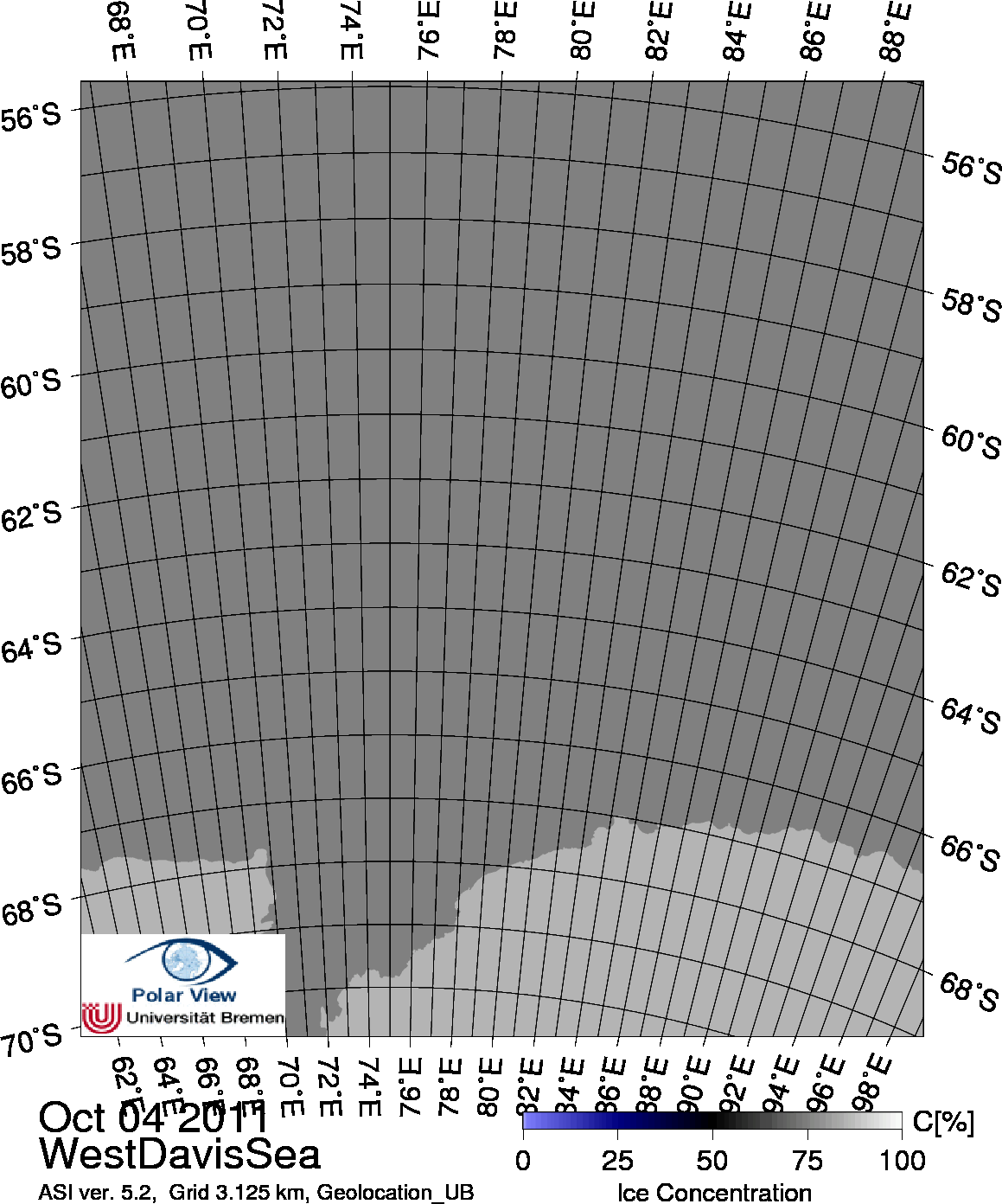
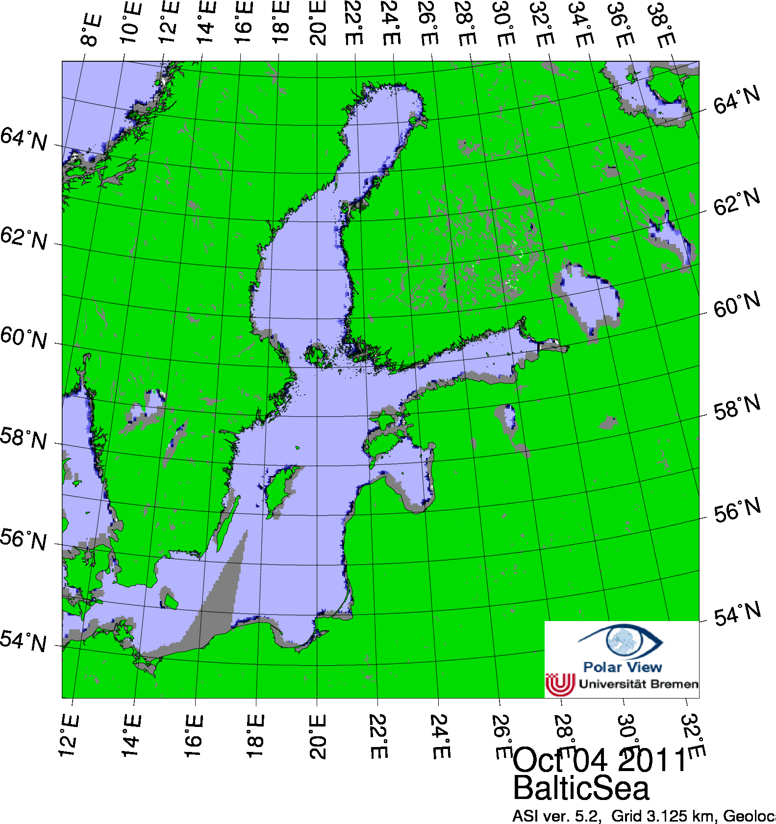
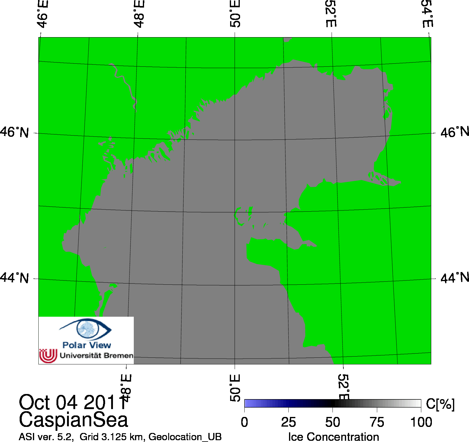
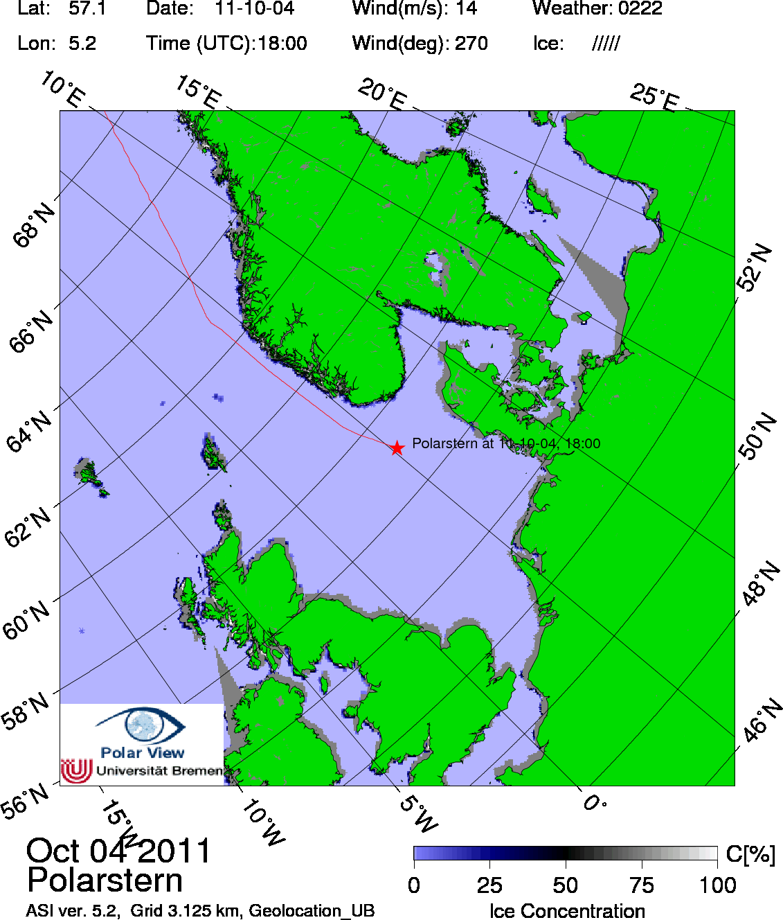
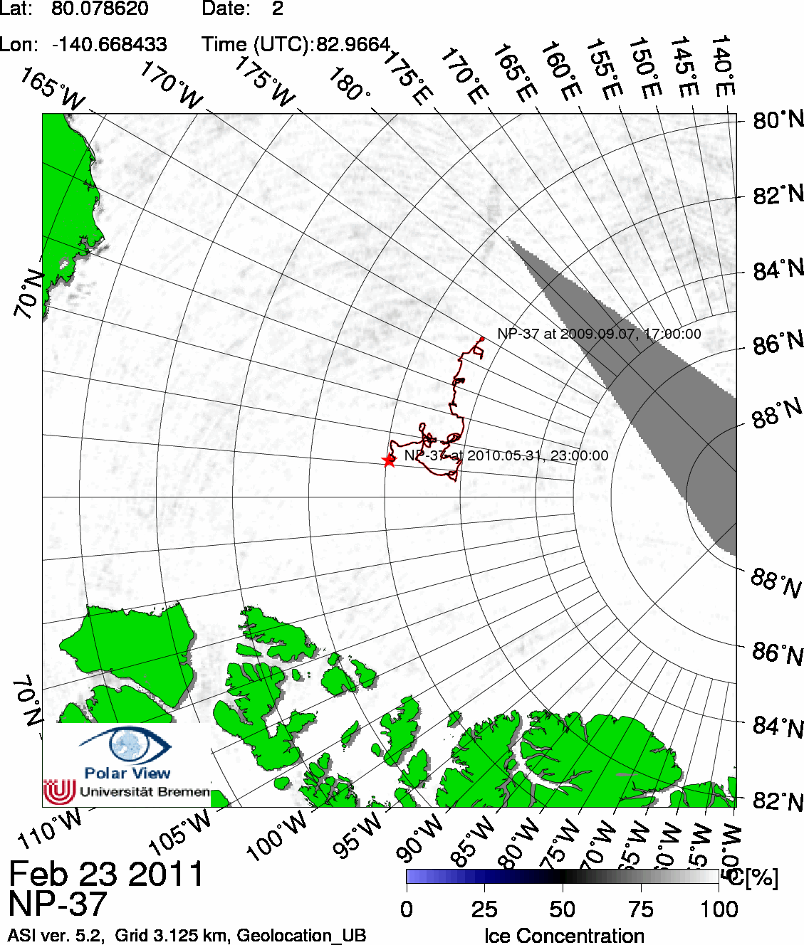
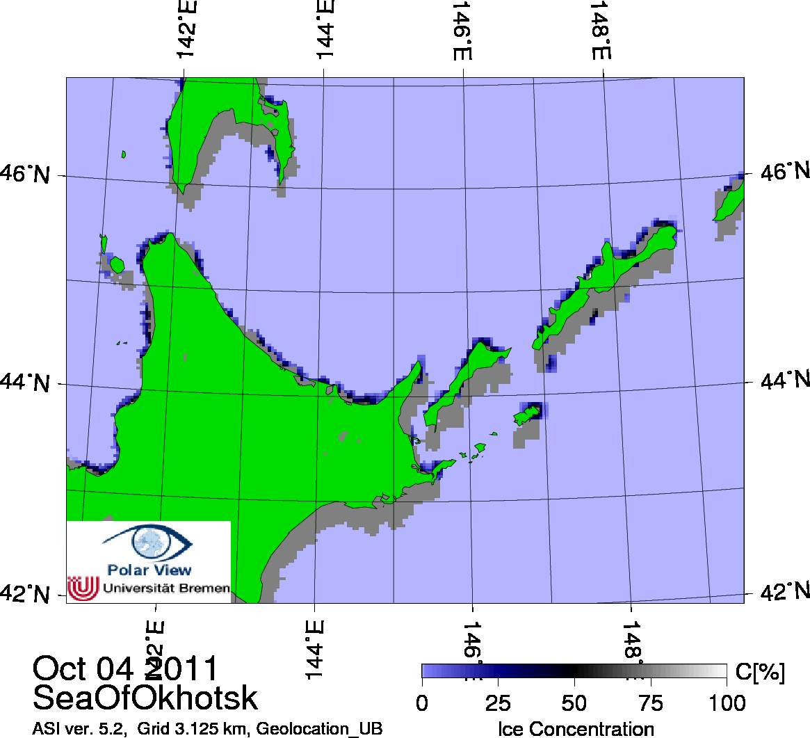
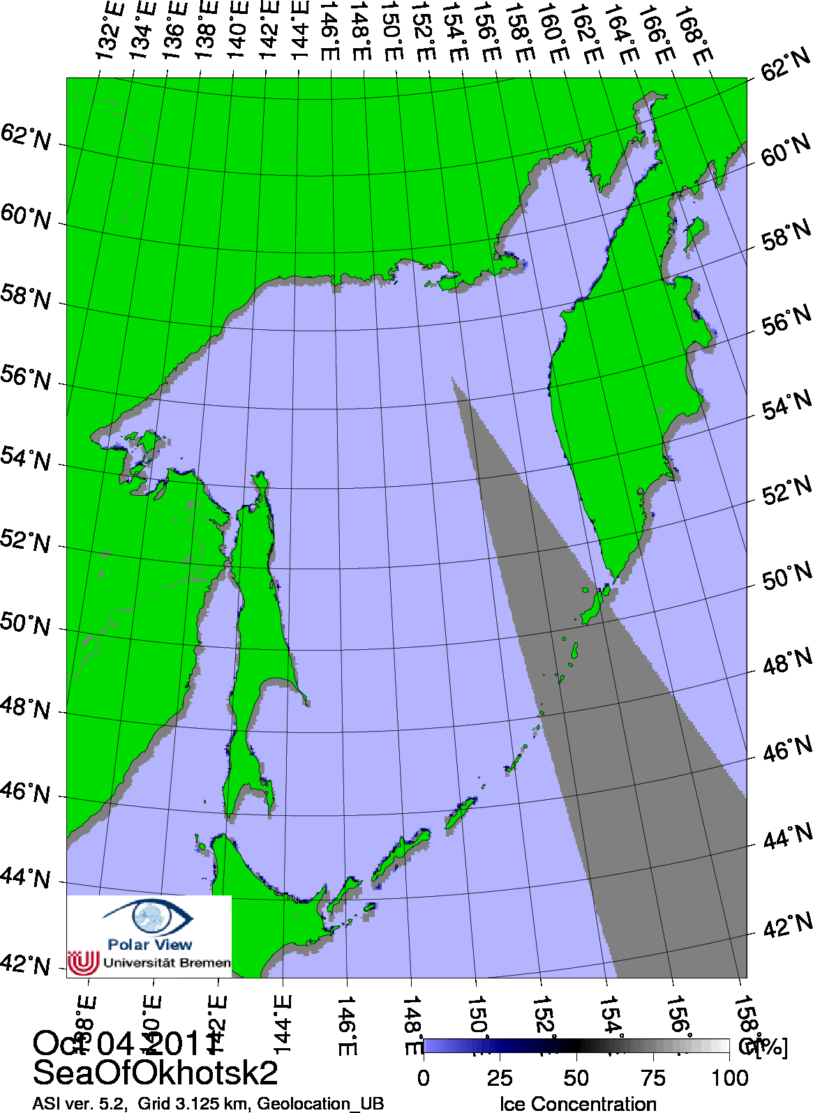
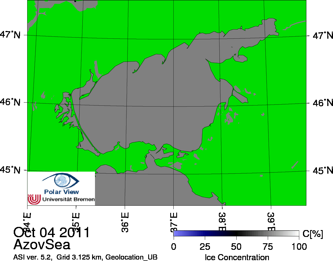
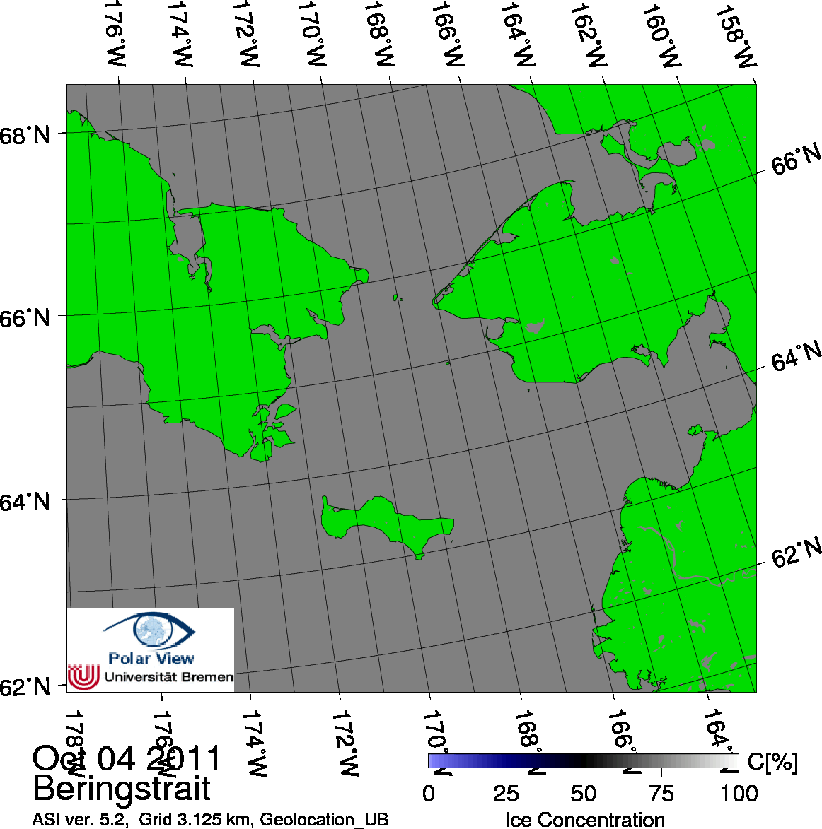
No warranty, expressed or implied, is made regarding the accuracy or utility of the data! False ice concentrations can occur due to bad weather systems.